Downstream
High-resolution maps with AI and HD satellite imagery
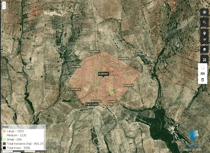
Curious about what high-resolution maps built with AI and HD satellite imagery can do? Here is the video where we explain what we can provide:
What sets us apart:
- Technology: we combine AI algorithms with HD satellite imagery to deliver detailed, precise maps.
- Clarity: our maps, made from images taken by state-of-the-art satellites, show even the smallest details of the landscape, from buildings to vegetation.
- Versatile applications: from urban planning to environmental monitoring, our solutions adapt to different industries and provide quick, reliable information for many needs.